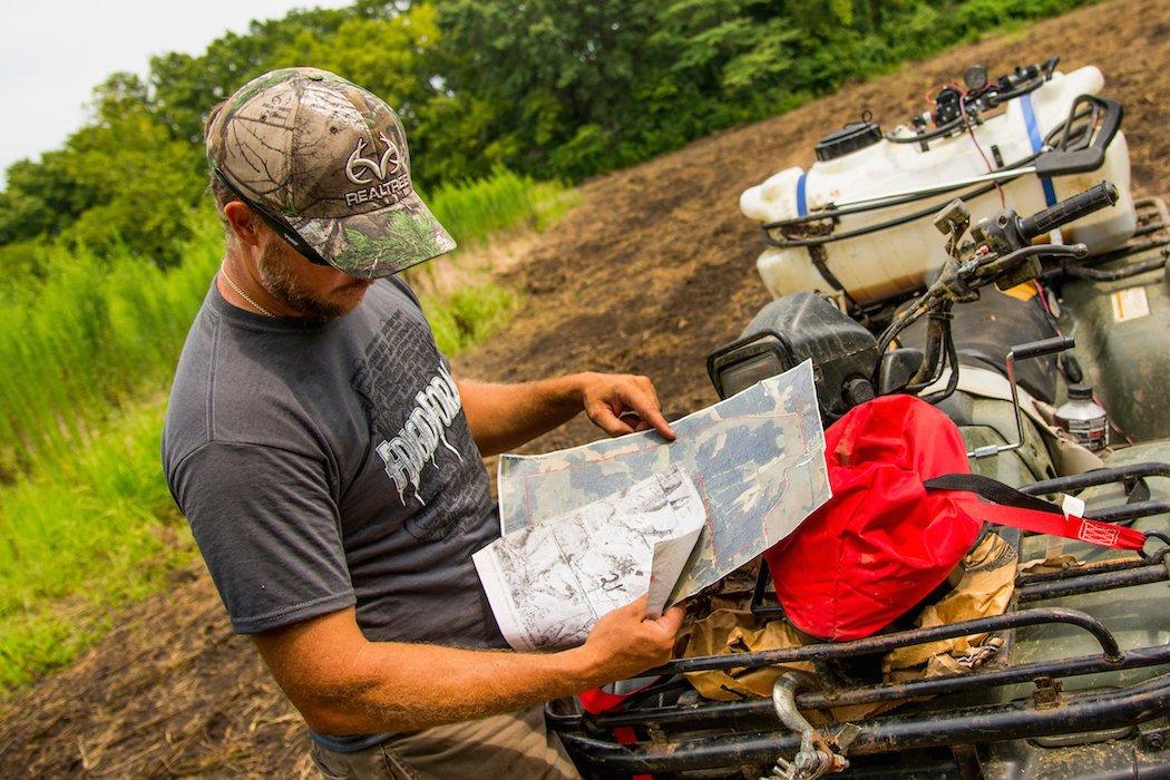
Do you use different maps to enhance your scouting efficiency?
I've always been a huge proponent of using low-impact scouting methods before implementing in-the-field scouting. The digital age we live in puts numerous tools at our disposal that can help us make wiser decisions when selecting, managing and hunting a given property.
Ben Harshyne of Hunterra Maps knows this well.
You have to look at this from two different perspectives, Harshyne said. Look at the macro perspective and micro perspective. Don't just have tunnel vision. Look at the big picture and then dial in. Because unless you manage thousands of acres, you're sharing deer with your neighbors.
Here are several types of maps and how they can help you as a deer hunter.
1. Soil Maps
While not as common or necessary as other maps on this list, a soil map has its place, too. Use this type of map to better understand how the land is in certain areas for growing certain food plots and native plants. It's also good for learning where big bucks might be located. Bigger racks typically coincide with better soil.
2. Hydro Maps
Most water sources are visible on aerial or topo maps. But not all are, especially smaller water sources like drainages and wet-weather streams. Mature bucks often live their lives in solitude because they learn to take advantage of these very small water sources that afford them the opportunity to avoid larger sources that hunters focus on. And often, you won't find these unless you have a detailed water/hydro map to show you where they are.
3. Records Maps
This is generally where I begin when searching for new places to hunt. I look to the records to see where the biggest and most deer are being harvested. This helps me choose a region and general location based on genetics potential. Sometimes, these can be found in the form of maps. Other times, this data is packaged in books and online databases. Regardless, use Boone & Crockett, Pope and Young, Buckmasters and other similar resources to find the information you're looking for.
4. Plat Maps
This type of map is great for locating different types of boundaries. Use it to familiarize yourself with property lines. Always consult some type of map that shows you where property lines are, even if you think you know. It's possible you may not know exactly where the lines are. Knowing your neighbors' boundaries also helps you understand how surrounding properties are hunted and pressured.
Maps also allow you to identify access points and areas, Harshyne said. The less you pressure deer with good entry and exit routes, the better deer hunting you'll have throughout the season.
5. Aerial Maps
These maps are great for choosing specific properties and for gaining necessary information for hunting a given tract of land. Think of this as the focal point for all map scouting. This map can help locate food sources, water sources, bedding areas, travel routes, pinch points, funnels and more.
Decide what is scarce, Harshyne said. Is it lacking food? Is it lacking cover? Maps will help you determine these things before putting boots on the ground. You have to put yourself in that deer's shoes and think about where it travels to get from point A to B, and where it's safest for that deer to do that.
6. Topo Maps
View this map as a layer for the aerial map. Once you've studied the aerial, overlay a translucent topo map over it to see how the land lays. When studying the map, the tighter the lines are to one another, the steeper the terrain. This map is especially good for identifying spurs (they'll have draws on each side), saddles (tight lines are ridges and saddles), ridges, hollows, ridge endings, etc.
Maps help you to immediately eliminate areas that are going to produce bad, inconsistent winds, Harshyne said. Hollows, draws and other low spots will be difficult to hunt, while higher elevations will have more consistent winds.
Use maps to identify funnels, pinch-points and other high-odds locations, Harshyne said. Also, use them to identify secure cover and to establish sanctuaries.
Don't Miss: Using Maps to Kill Big Woods Bucks
Check out more stories, videos and educational how-to's on deer hunting.


