Digital Scouting Hacks for Pre-Rut Whitetails
Posted 2025-10-24 by
You're probably using mapping applications like onX Hunt to see satellite photos and property lines, but you can do plenty more than that
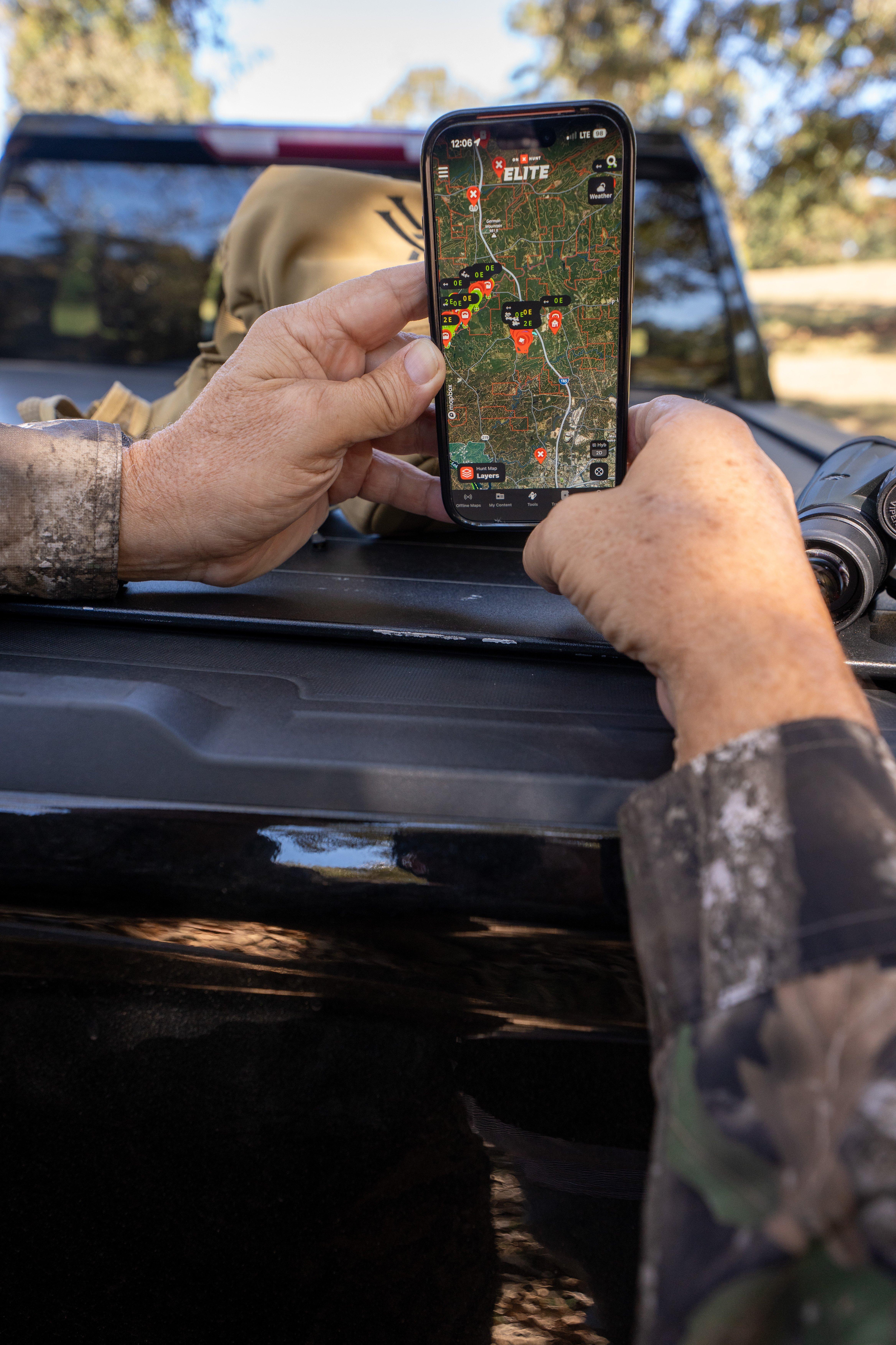
Plenty of hunters use onX Hunt to pin stands and mark property lines, but the app has many other features to help make your hunt successful.
The pre-rut is here, and the next few weeks ahead are arguably the best ones of the year to be in a deer stand. But not every hunting spot is created equal, and if you’re hunting a new location — even a spot that you’ve never tried on your own family farm — scouting ahead of time with online maps can quickly help narrow the search.
Many modern hunters depend on mapping applications like onX Hunt to overview the areas that they’re hunting. Realtree’s David Blanton trusts the app wherever he’s going to provide big-picture overviews of potential hotspots during the early phases of the rut. “I’m looking at the satellite images to find the pinch points and funnels,” Blanton says. “When bucks are up cruising for does, putting your bow stands in areas where the traffic is necked down is one of the best ways to get within range. When I’m hunting in the Midwest, I like to find spots where woods neck down between two fields. That creates an ideal deer corridor.”
Don’t Miss: 5 Giant Full-Rut Bucks from Last Fall
But onX Hunt has other tools besides the basic satellite imagery that can really help hunters dial in on ideal stand locations. Topographic lines show ridges and ravines, which can help you plan around tricky thermals and swirling winds.
There are also several map layers that can be utilized to provide a more accurate representation of the season. The Trees, Crops & Soil tool has 11 layers that users can turn on or off to identify things like recent timber cuts, acorn producing oaks, thermal deer cover, and US crop distribution. Those tools can make it easier to identify things like hidden edges, like where a pine thicket meets open hardwoods, up in the timber. Those edges are magnets for cruising bucks, and often highways of rub lines and scrape lines. Under the Wildlife Layers, the Southern Rut Heat Map provides hunters with a good grasp on southern rut timing, which can be as early as October and as late as February, depending on the state.
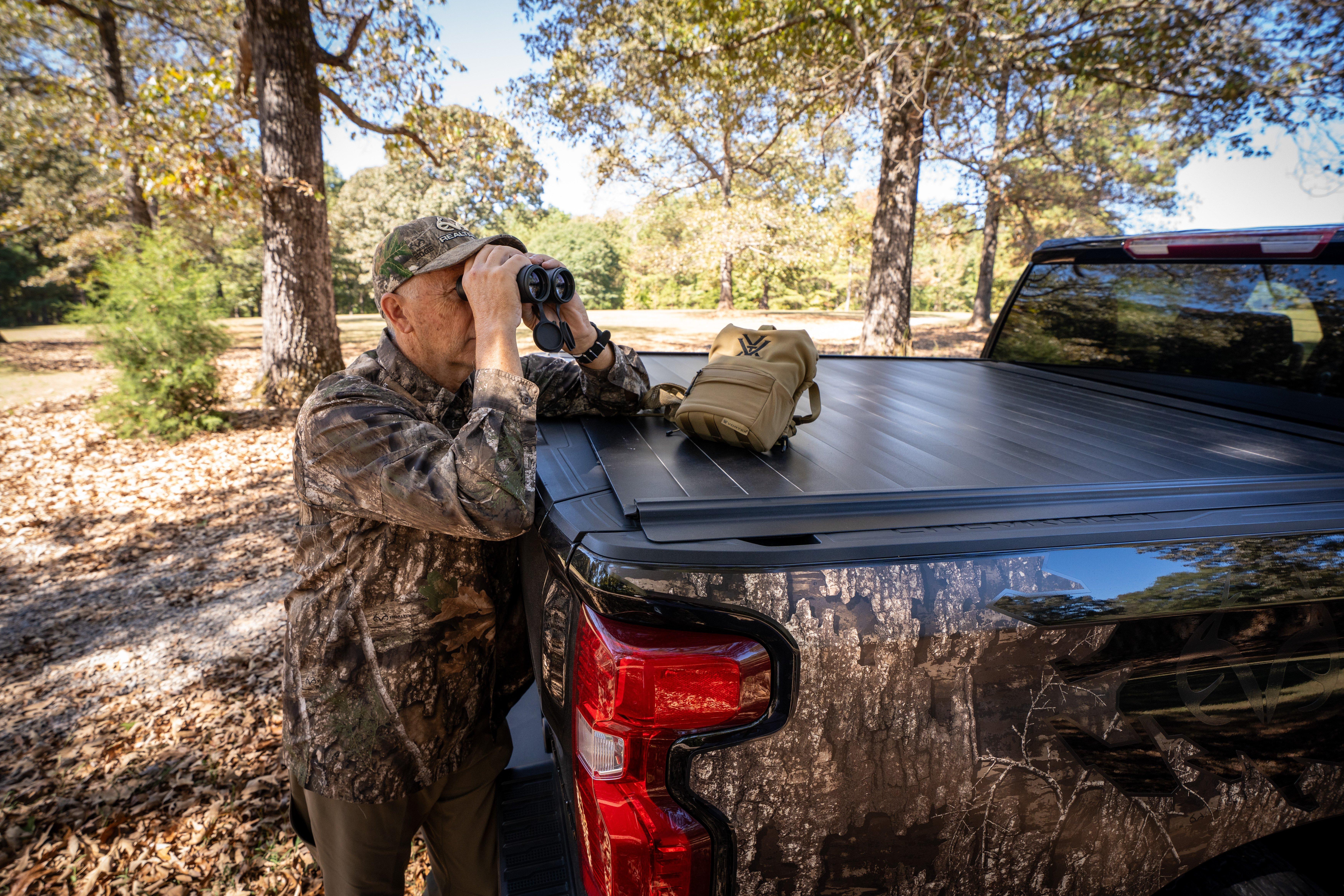
A combination of digital scouting, trail camera intel, and first-hand observation is the most efficient way to dial into a big buck’s routine during the pre-rut.
Blanton says that when hunting states like Kansas, knowing ahead of time which fields are planted in crops like corn and milo can tell you a lot about a big whitetail’s routine. In that open country the biggest bucks will often bed right in the standing crops, and knowing when those crops are likely to be cut can really impact when and where you need to be hunting.
Once you’ve pinned potential stand locations, you can use additional tools such as the Wind Calendar to set a stand’s ideal wind locations, and also reveal which winds might be good enough, if not ideal. Hunters should also use mapping to identify potential access points for sneaking into and out of a stand undetected. Sometimes, when you’ve hunted a property for a lifetime, it can be easy to get stuck in a routine of going one way in and out to a stand. An alternate route, even if it’s the long way around, might be exactly what’s needed to keep from bumping deer and maintain a productive spot over the long haul.
Digital tools aren’t meant to be a replacement for traditional scouting techniques, but they can certainly help supplement your strategy and put the big picture into context. The hunters who take advantage of these tools are more effective than ever before.
Don’t Miss: How to Plant Better Food Plots for Less Money with Mapping Apps